
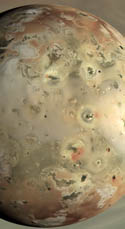
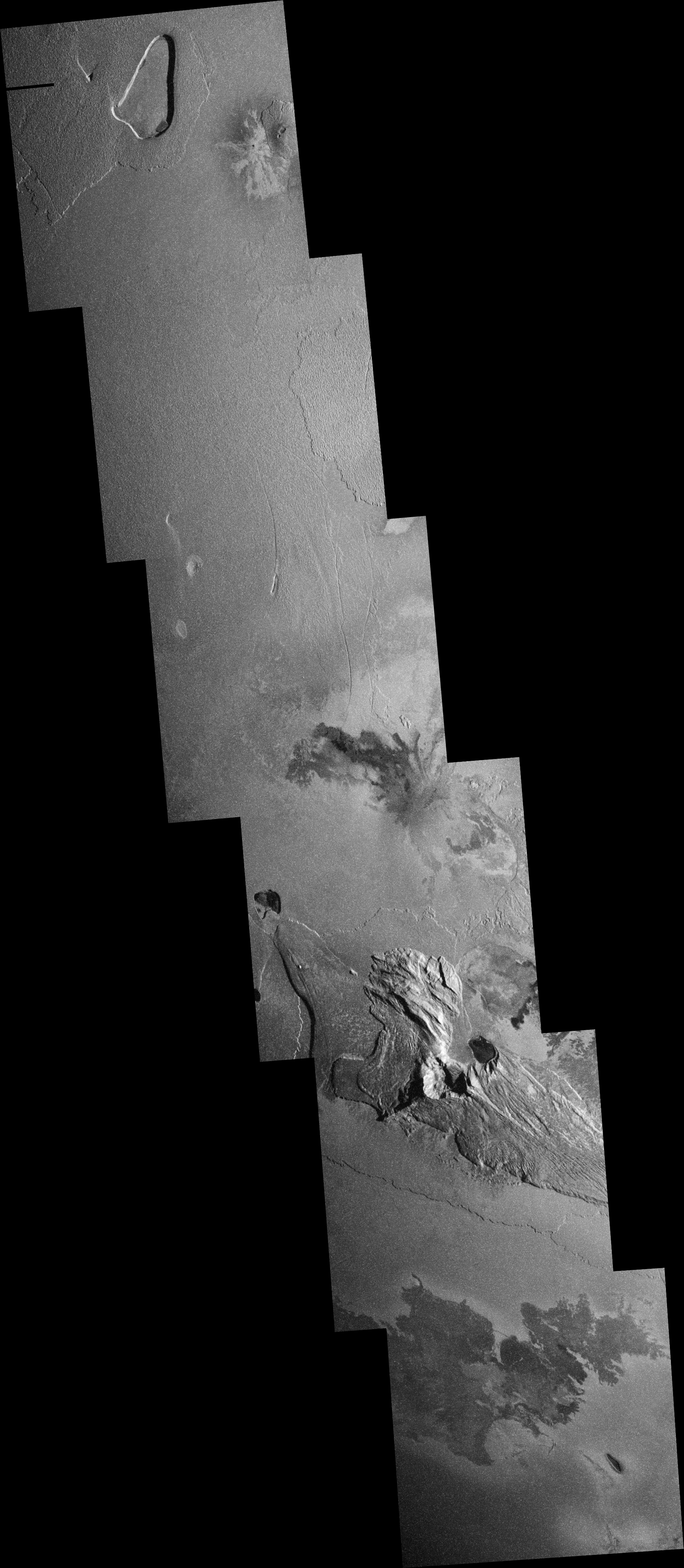
 <- Lookie what I made. This image uses Celestia to simulate the view from Galileo shortly after the I32 flyby in October 2002. The big thing is the use of an elevation map by Paul Schenk of Tohil Mons, near the terminator just below center. Compare this image to the view capture by Galileo, 32ISTERMIN01.
Very nice if I do say so myself. Now I just need topo maps of all the other mountains on Io ;)


No comments:
Post a Comment